
Things sometimes change, especially after major patches, so if you discover any errors please contact us and report them.
4.1 Landing Zone Chart Update Notes:
03/28/25
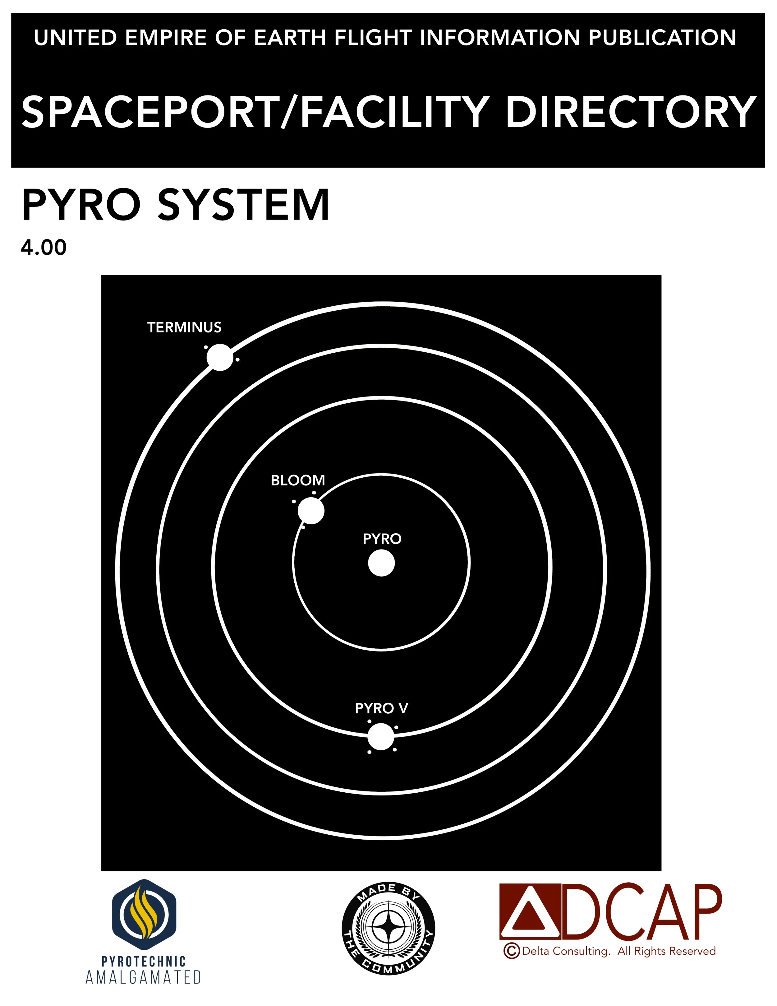
NEW CHARTS FOR PYRO
-Lagrange Stations: Checkmate (updated identifier), Dudley and Daughters, Endgame, Gaslight, Megumi Refueling, Patch City, Rat’s Nest, Rod’s Fuel ‘N Supplies, Starlight Service Station
-Rest and Relax Stations: Stanton Gateway
No other notable changes for 4.1.
OTHER CHANGES
Renamed chart viewers “Electronic Flight Bags” to better reflect their intended use.
WORK IN PROGRESS
Looking into Wikelo Emporium locations.
Reminders
Compass-The ship compass orients to OM1 for north once again. I will go back and revise Stanton charts once I’m finished with Pyro.
Altimeter-The altimeter is still in the kilometer scale, meaning if you’re above 1000 meters it will show as 1.00km, 2.73km, 4.51km, etc. Due to this change, altitudes on old charts will have to be converted by the user by reading, for example, 3650 meters as 3.65km. Altitudes will also not be precise unless they happen to be less than 1km. For newer charts, instead of estimating the altitudes and noting them in meters, I put them on the charts exactly as they appear on the ship HUD.

General Information
Explanations of items on the charts, sample chart with descriptors, Stanton System Facility Identifiers, and more
Chart Collections
Click the buttons for collections of some of the Pyro SFD charts (more coming soon).